Central Pennsylvania Drone Services
Unlock the full potential of your projects with our drone services. Specializing in high-quality aerial mapping and surveying, our services provide real estate developers, construction professionals, and planners with precise, current, and fully editable maps. Choose Aloftus for superior accuracy and efficiency in all your mapping needs.
Our Commercial Drone Services
Commercial
-
We can capture anything you just “Can’t forget”!
Let your imagination run wild.
Don’t forget to give us a call when you’re done!
-
Let us help you capture your property from a different angle.
We have video editing options available.
-
Need to capture that “Can’t miss” moment from an amazing angle.
Reach out today to learn more about our Videography options.
Inspection
-
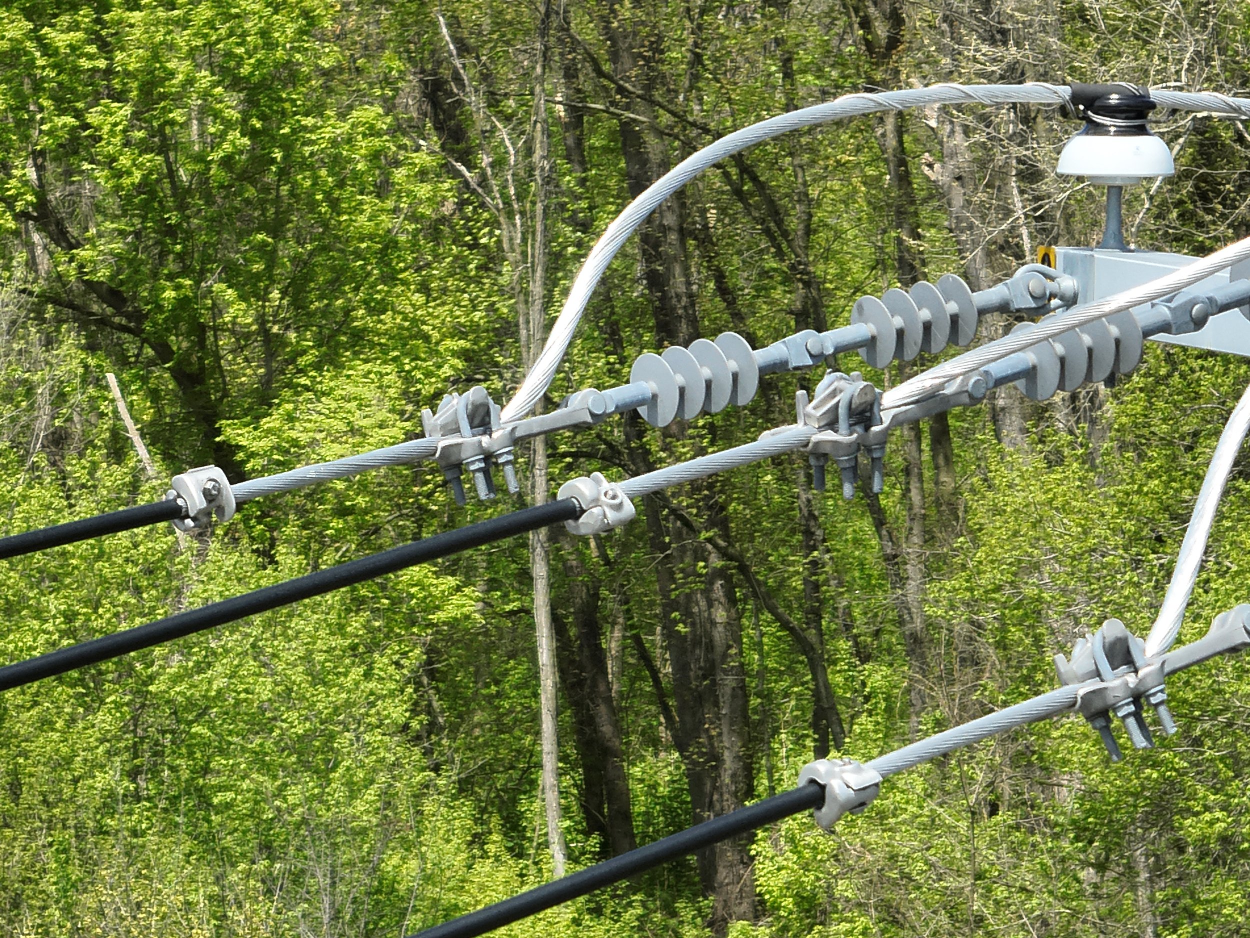
Keep your team safe and allow us to inspect your next telecommunication or radio tower.
-
Allow us to assist you with your next roof inspection. We can assist with high quality photos for inspections and insurance.
Ask us about our Thermal Options.
-
We can help you capture high quality images to perform your next Bridge Inspection or track the progress of your next project.
Mapping
-
High quality site mapping
Progress or Time line reports
No need for outdated Google Maps
-
Are you a developer or local agency looking to capture all stages of your next project? We can help!
-
Are you planning a parade or large outdoor event? We can help!
The Aerial Solutions Group
At Aloftus, we are committed to maintaining our position as a frontrunner in the rapidly evolving field of aerial Photography, Inspection, and Mapping. Our dedication stems from a passion for innovation and a drive to provide cutting-edge solutions to our clients. By staying ahead of industry trends and continuously refining our techniques and technologies, we ensure that we deliver top-notch services that exceed expectations. With a focus on precision, efficiency, and quality, we aim to set the standard for excellence in the aerial services sector. Join us on this exciting journey as we shape the future of aerial imaging and data collection.

Instagram & YouTube
Contact Us
Help us learn more about you and your project. Please complete the form and someone from our team will be in touch shortly.


